
A while ago I asked Twitter if there was a name for a long period of inactivity on blogs or social media. Erik Champion came up with some nice suggestions
which raise questions about whether blogging represents either the presence or absence of ‘loafing’; and @MagistraLoop replied with a certain elegant simplicity:
Anyway, having been either ‘living’ or ‘loafing’ a lot these last few months, this is my first post since February.
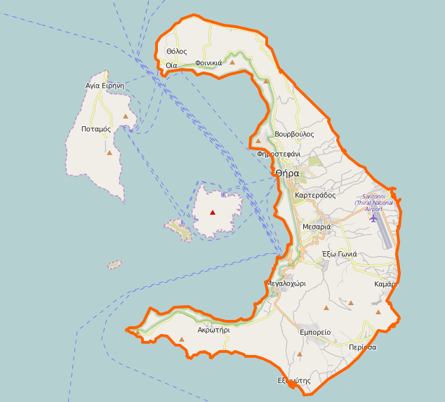
I want to ask another question, but 140 characters just won’t cut it for this one. How does one represent a place in a gazetteer, or any other kind of database or GIS for that matter, which no longer exists? To take an example of ‘Mikro Kaimeni’, a tiny volcanic island in the Santorini archipelago mapped and published by Thomas Graves in his 1850 military survey of the Aegean:

Some sixteen years after this map was made, Santorini erupted and Mikro Kaimeni combined with the large central island, Neo Kameni:
Can such places be hermenutic objects by virtue of the fact that they are representing in the human record (in this case Graves’s map), even though they no longer exist as spatial footprints on the earth’s surface? I suppose they have to be. The same could go for fictional places (Middle Earth, Gotham City etc). What kind of representational issues does this create for mapping in the humanities more generally?
