
Recently on holiday in the North East, I took in two Roman forts of the frontier of Hadrian’s Wall, Segedunum and Arbeia. Both have stories to tell, narratives, about the Roman occupation of Britain, and in the current period both have been curated in various ways. At both, the curating authorities (Tyne and Wear Museums), with ongoing archaeological research being undertaken by the fantastic WallQuest community archaeology project.
The public walkthrough reconstructions of what the buildings and the contents might have been like at both sites pose some interesting questions about the nature of historical/archaeological narratives, and how they can be elaborated. At Segedunum, there is a reconstruction of a bath house. Although the fort itself had such a structure, modern development means that it is not in the same place, nor does the foundations of the reconstruction relate directly to archaeological evidence. The features of the bath house are drawn from composite analysis of bath houses from throughout the Roman Empire. So what we have here is a narrative, but it is a generic narrative: it is stitched together, generalized, a mosaic of hundreds of disparate narratives, but it can only be very loosely constrained by time (a bath house such as that at Segedunum would have had a lifespan of 250-300 years), and not to any one individual. we cannot tell the story of any one Roman officer or auxiliary solider who used it.
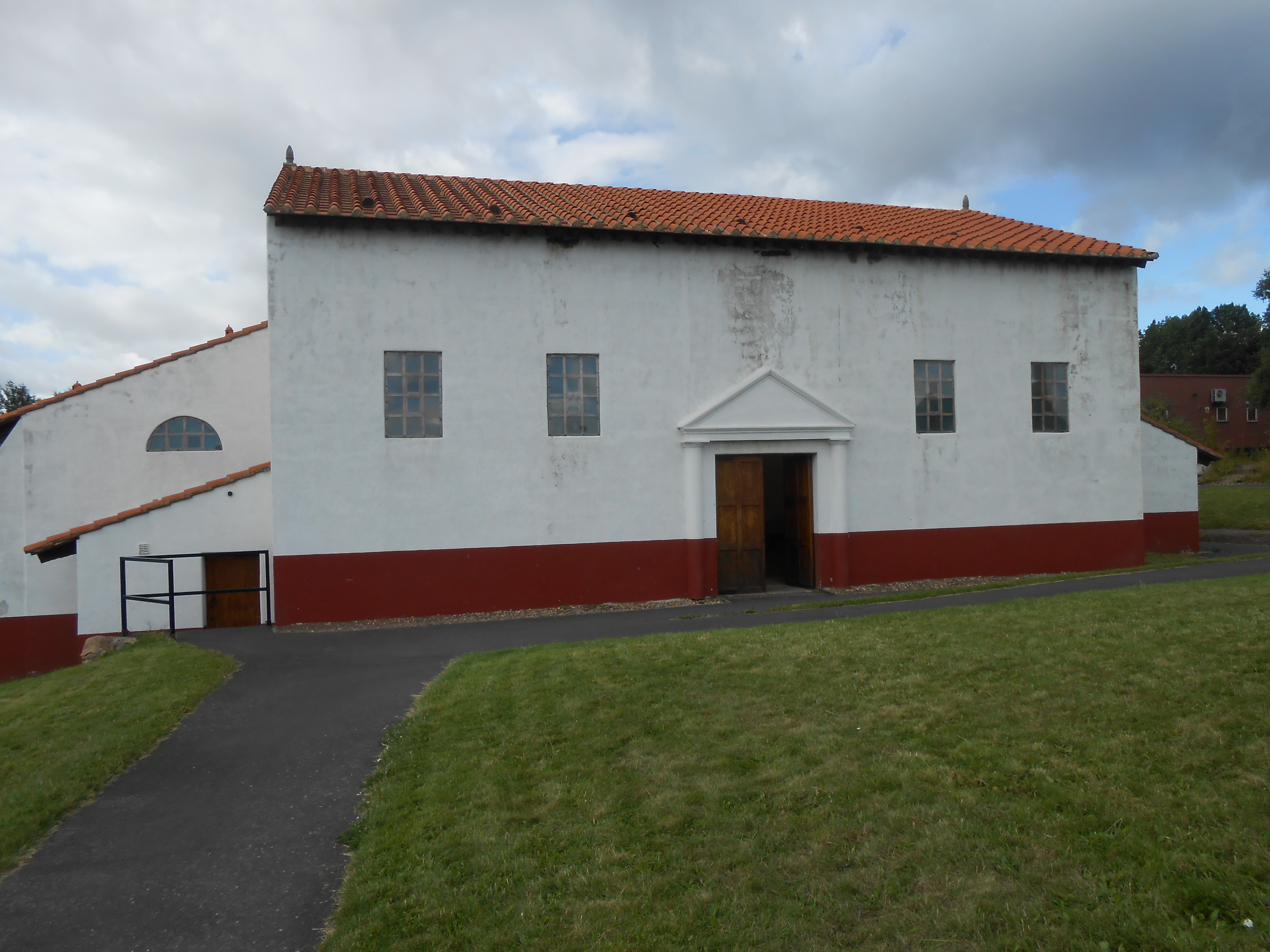
On the other hand at Arbeia, there are three sets of granaries, the visible foundations all nicely curated and accessible to the public. You can see the stone piers and columns that the granary floors were mounted on, to allow air movement to stop the grain rotting. Why three granaries for a fort of no more than 600 occupants? Because in the third century, the Emperor Severus wanted to conquer the nearby Caledonii; and for his push up into Scotland we needed a secure supply base with plenty of grain.

This is an absolute narrative. It is constrained by actual events which are historical and documented. At the same fort is a reconstructed gateway, which is this time situated on actual foundations. This is an inferential narrative, with some of the gateway’s features being reconstructed again from composite evidence from elsewhere (did it have two or three stories? A shingled roof? We don’t know, but we infer). These narratives are supported by annotated scale models in the gateway structure which we, they paying public (actually Arbeia is free), can view and review at our leisure. This speaks to the nature of empirical, inferential and conjectural reconstruction detailed in a forthcoming book chapter by myself and Kirk Woolford (of contributions to the EVA conference, published by Springer).
Narratives are personal, but the can also be generic. In some ways this speaks back to the concept of the Deep Map (see older posts). The walkthrough reconstruction constitutes, I think, half a Deep Map. It provides a full sensory environment, but is not ‘scholarly’ in that it does not elucidate what it would have been like for a first or second century Roman, or auxiliary soldier to experience the environment. Maybe the future of 3D visualization should be to integrate modelling, reconstruction, remediation, and interpretation to bring available (and reputable) knowledge from whatever source about what that original sensory experience would have been – texts, inscriptions, writing tablets, environmental archaeology, experimental archaeology etc. In other words, visualization should no longer be seen as a means of making hypothetical visual representations of what the past might of been, but of integrating knowledge about the experience of the environment derived from all five senses, but using vision as the medium. It can never be a total representation incorporating all possible experiences under all possible environmental conditions, but then a map can never be a total representation of geography (except, possibly, in the world of Borges’s On the Exactitude of Science).

One thought on “Reconstruction, visualization and frontier archaeology”