Digital gazetteers have been immensely successful as means of linking and describing places online. GeoNames for example, now contains 10,000,000 geographical names corresponding to over 7,500,000 unique features. However, as we will be outlining at the ICA Digital Technologies in Cartographic Heritage next month in relation to the Heritage Gazetteer of Cyprus project, one assumption which often underlies them is fixity: an assumption that a name and a place and, by extension, its location on the Earth’s surface are immutably linked. This allows gazetteers to be treated as authorities. For example, a gazetteer with descriptions fixed to locations can be used to associate postal codes with a layer of contemporary environmental data and describe relationships between them; or to create a look-up list for the provision of services. It can also be very valuable for research, where a digital edition of a text has mentions of places. If contained in a parallel gazetteer, these can be used to provide citations and external authorities to those places, and also to other references in other texts.
However, physical geography changes. In the Aegean, where the African tectonic plate is subducting beneath the Eurasian plate to the north, the South Aegean Volcanic Arc has been created, a band of active and dormant volcanic islands including the islands of Aegina, Methana, Milos, Santorini, Kolumbo, and Kos, Nisyros and Yali. Each of these locations has a fixed modern aspect, and can be related to a record in a digital gazetteer. However, these islands have changed over the years as a result of historical volcanism, and this history requires the flexibility of a digital gazetteer to adequately represent it.

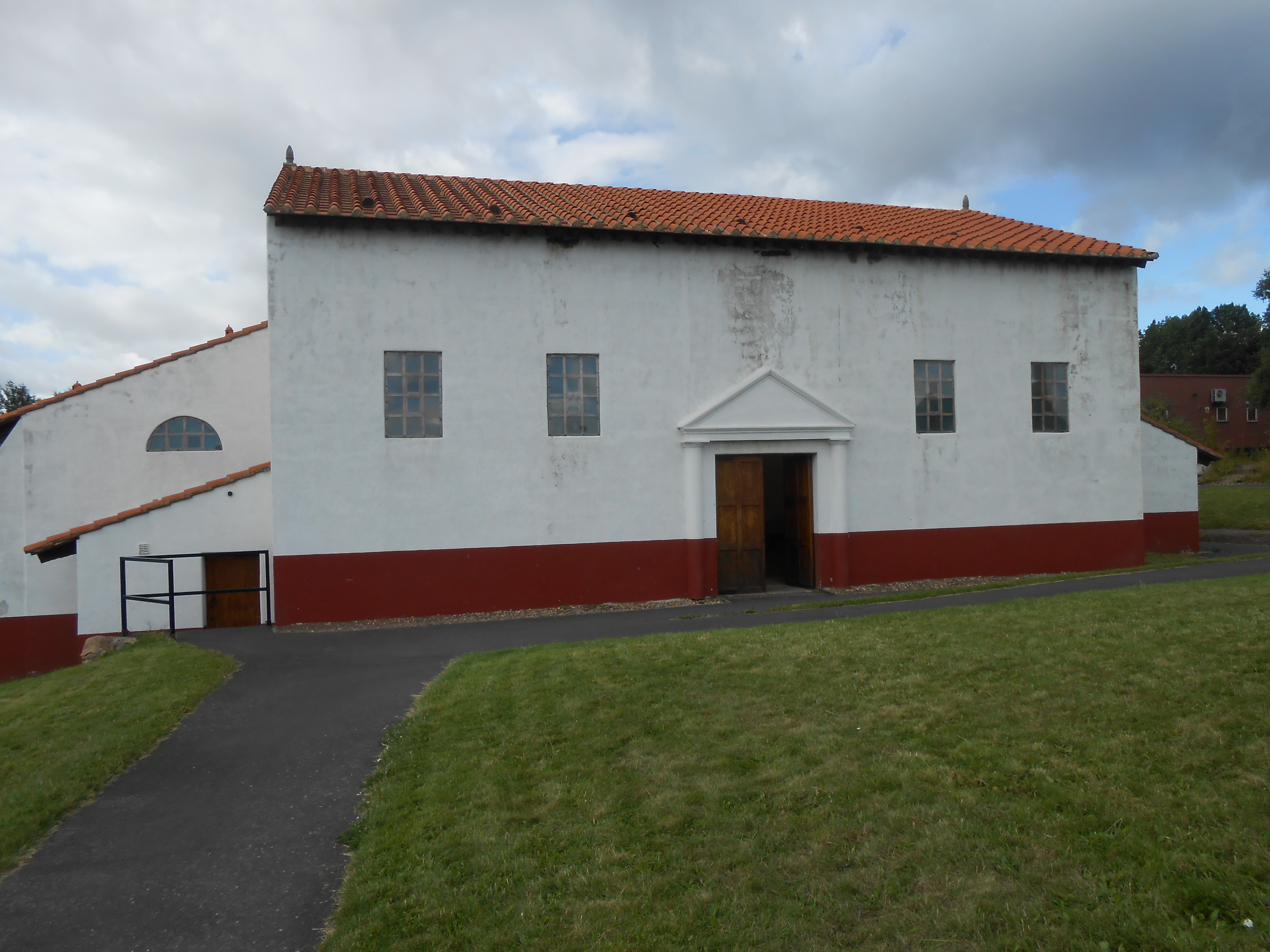
The island of Thera. The volcanic dome of Mt. Profitis Elias is shown viewed from the north.
I recently helped refine the entry in the Pleiades gazetteer for the Santorini Archipelago. Pleiades assigns a URI to each location, and allows information to be associated with that location via the URIs. Santorini provides a case study of how multiple Pleaides URIs, associated with different time periods, can trace the history of the archipelago’s volcanism. The five present-day islands frame two ancient calderas, the larger formed more recently in the great Late Bronze Age eruption, and the other formed very much earlier in the region’s history. Originally, it is most likely that a single island was present, which fragmented over the millennia in response to the eruptions. Working backwards therefore, we begin with a URI for the islands as a whole: http://pleiades.stoa.org/places/808255902. This covers the entire entity of the ‘Santorini Archipelago’. We associate all the names that have pertained to the island group through history – Καλλιστη (Calliste; 550 BC – 330 BC); Hiera (550 BC – 330 BC) and Στρογγύλη (Strongyle; AD 1918 – AD 2000), as well as the modern designation ‘Santorini Archipelago’ itself. These four names have been used, at different times as either a collective term for all the islands, or, in the case of Strongyle, for the (geologically) original single island. This URI-labelled entity has lower-level connections with the islands that were formed during the periods of historic volcanism: Therasia, Thera, Nea Kameni, Mikro Kameni, Palea Kameni, Caimeni and Aspronisi. Each, in turn, has its own URI.

The Santorini Archipelago in Pleiades
Mikro Kameni and Caimeni are interesting cases as they no longer exist on the modern map. They are attested respectively by the naval survey of Thomas Graves of HMS Volgae (1851), and Caimeni was attested by Thomaso Porcacchi in 1620. Both formed elements of what are now the Kameini islands, but due to the fact that they have these distinct historical attestations, they are assigned URIs, with the time periods when they were known to exist according to the sources, even though they do not exist today.
This speaks to a wider issue of digital gazetteers, and their role in the understanding of past landscapes. With the authority they imbue to place-names, gazetteers might, if developed without reference to the nuances of landscape changes over time, potentially risk implicitly enforcing the view, no longer widely accepted, that places are immutable holders of history and historic events; where, in the words of Tilley in A Phenomenology of Landscape: Places, Paths and Monuments (1994), ‘space is directly equivalent to, and separate from time, the second primary abstracted scale according to which societal change could be documented and ‘measured’.’ (p. 9). The evolution of islands due to volcanism show clearly the need for a critical framework that avoids such approaches to historical and archaeological spaces.