
This is a much delayed (and very brief) write up of another corpse path, one we walked late last summer (between lockdown restrictions) in Dorset. This one links the village of Plush, near Dorchester, with the thirteenth century Church of the Holy Rood in Buckland Newton, about three miles to the north west. It features on my little database of corpse paths, being mentioned in Deveraux’s anthology.
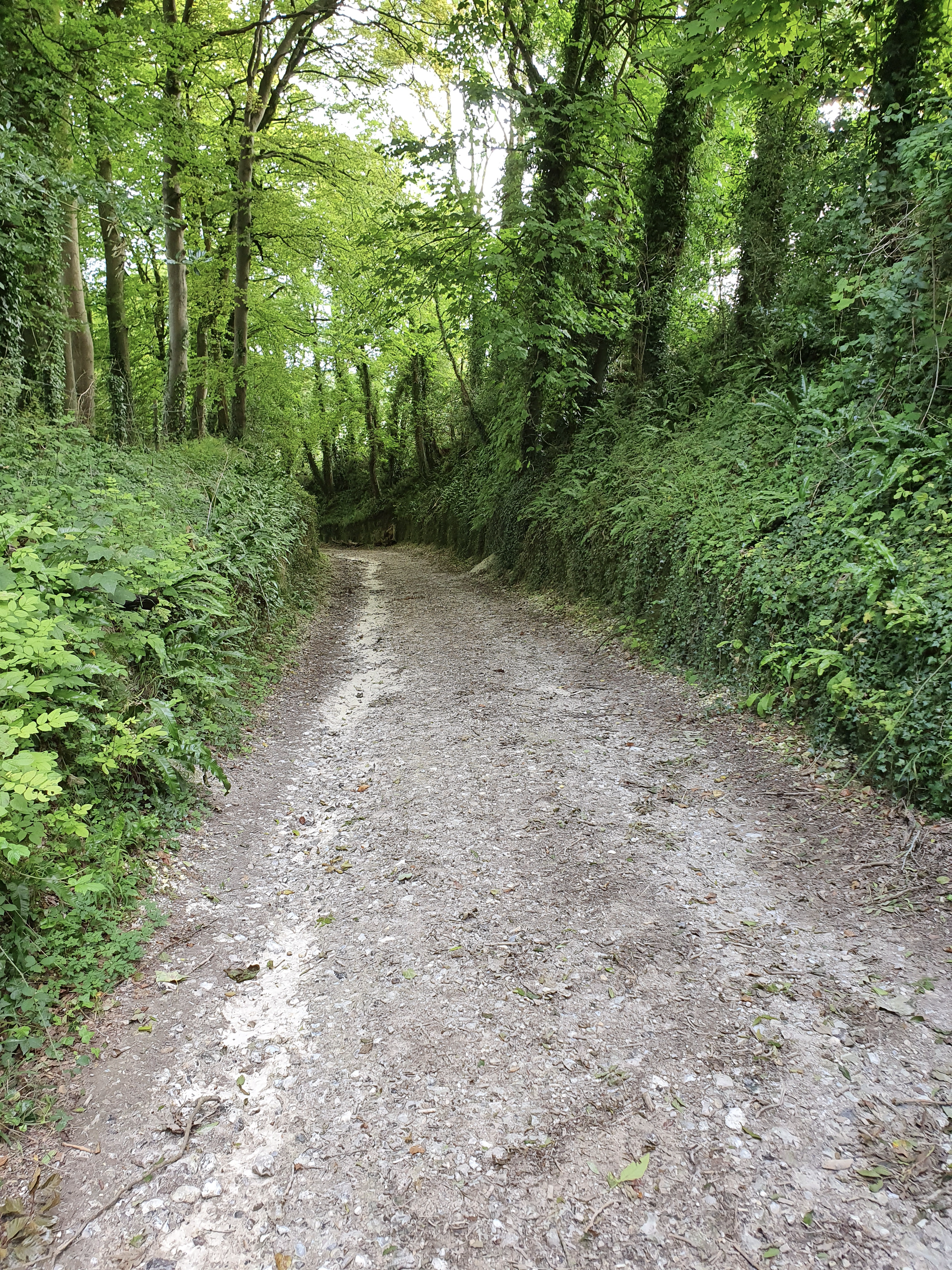
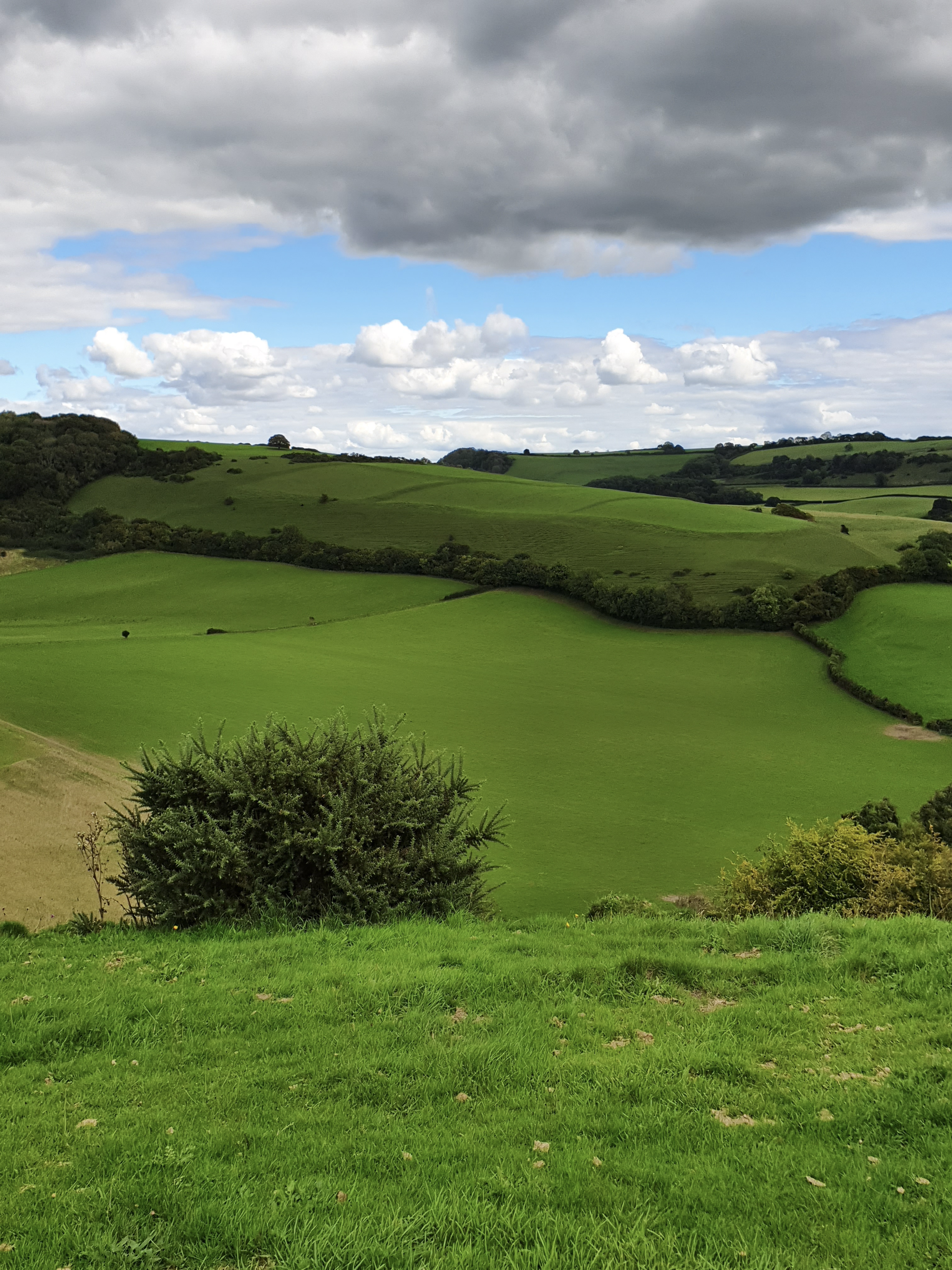
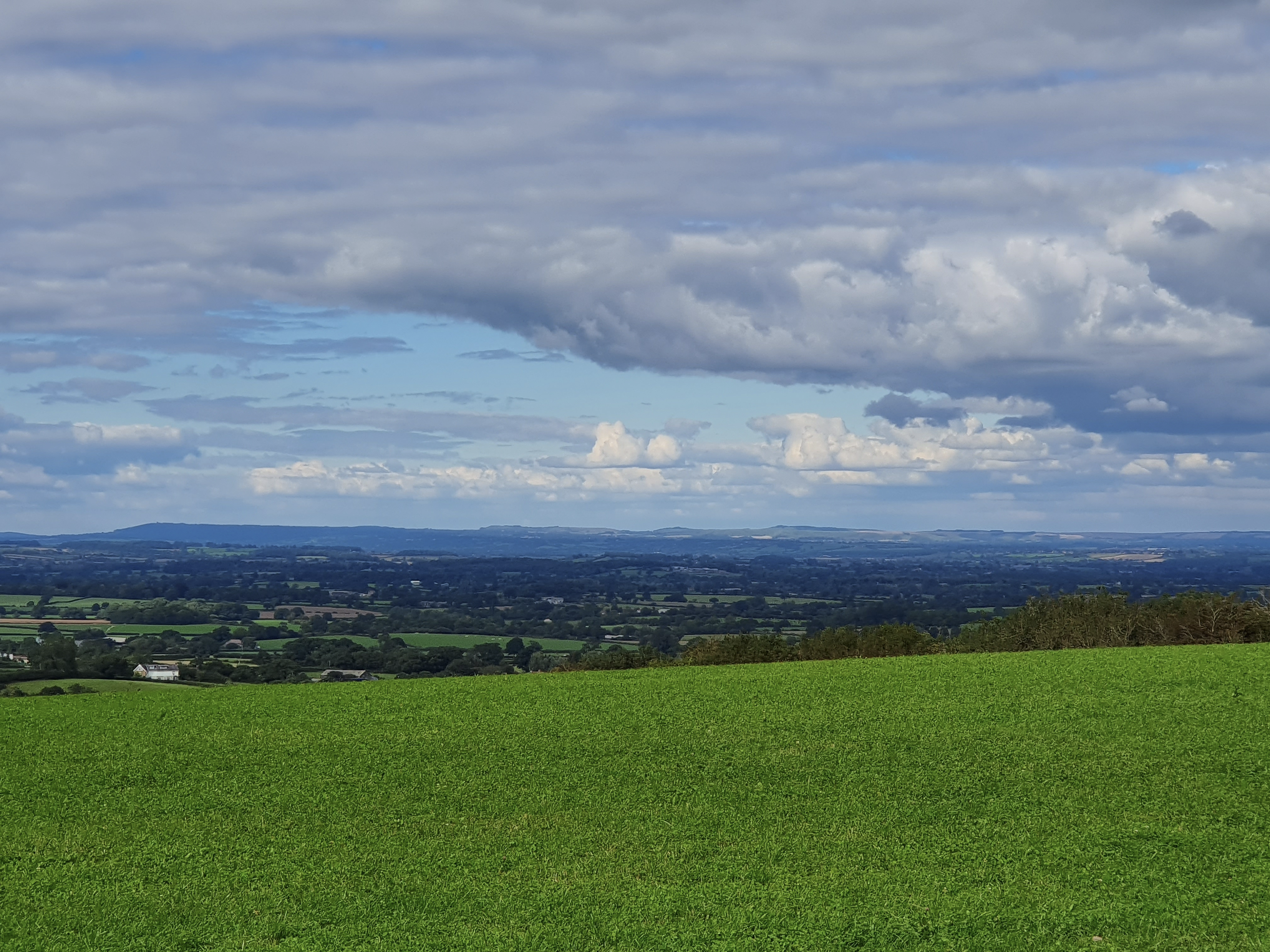
The path starts as a satisfyingly deep holloway, branching off from the road into Plush, and tracing a steepish path north, up the side of the West Hill towards Watcombe Plain. Opening out, and affording stunning views of field systems (Iron Age, I think) on the eastern side of the valley, the path follows the contours of the hill round to the west. Crossing White Way, it becomes Crowthorne Lane as it makes its descent towards Buckland, and then Hilling Lane.
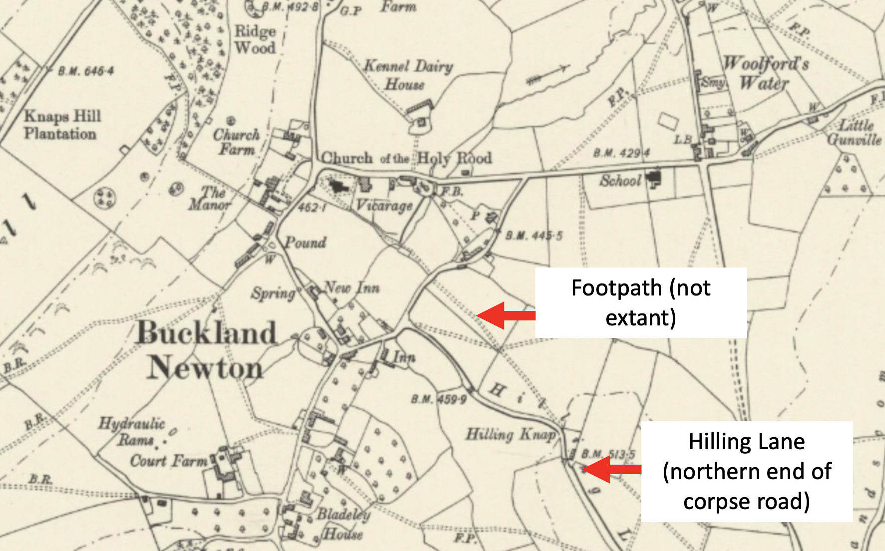
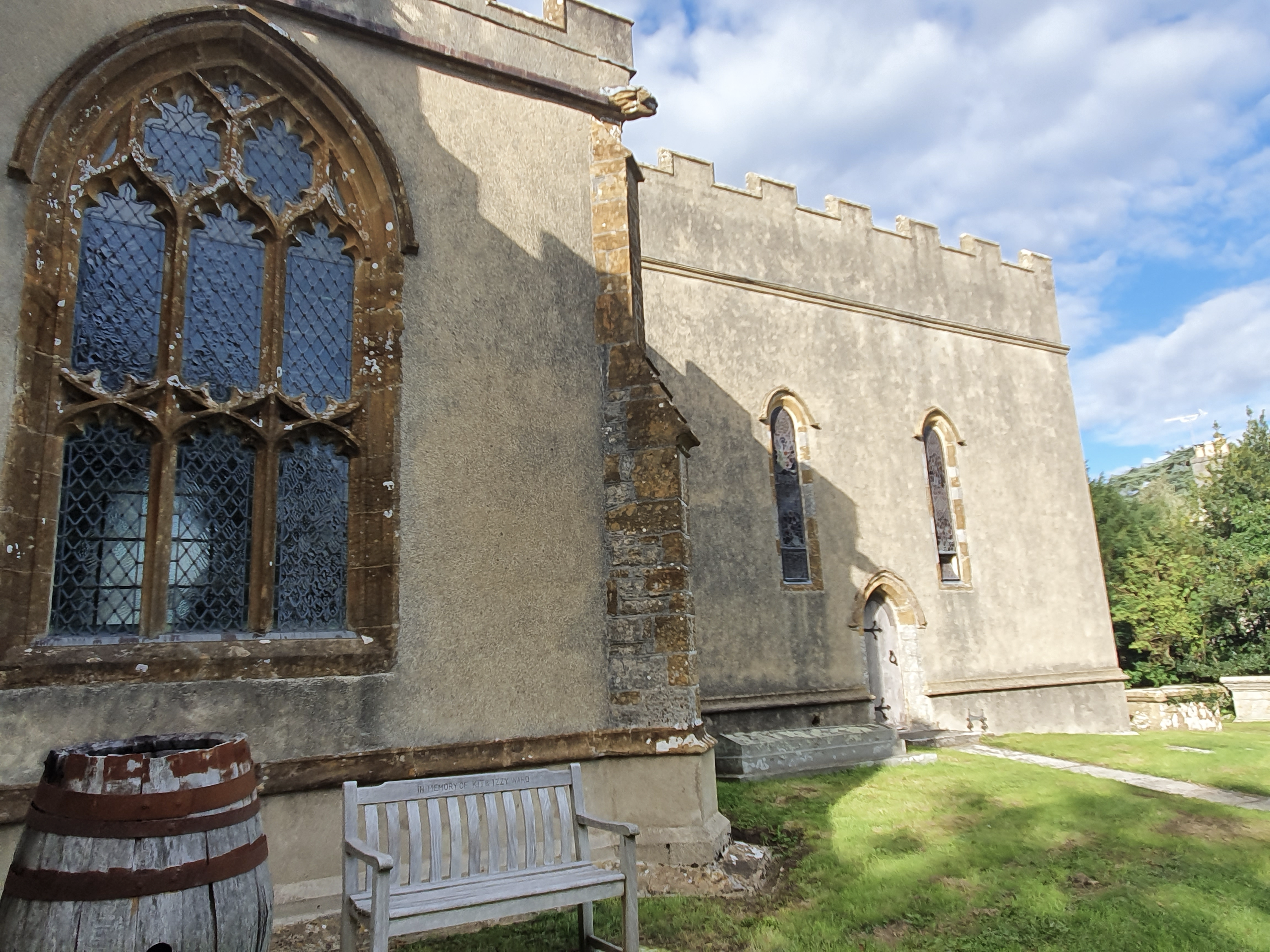
As Hilling Lane enters Buckland itself, it branches south, away from the church. There appears to be no extant footpath or right of way linking this section with the church itself, but in one of those pleasing bits of historical jigsaw-fitting that occasionally comes along with these things, such a footpath clearly appears on the 1903 Ordnance Survey map (which marks much of the rest of the route as B.R., = Bridle Route); following the trajectory of Hilling Lane straight to the church.

How lovely to be reminded of that glorious day. We should try to repeat it soon. Maybe refresh ourselves at the Brace of pheasants this time. George Marsh is executive chef there now xxxx
Sent from my iPhone
>
Dear Stuart- The field systems look so picturesque. Getting my head around the idea of a corpse road against a verdantly exuberant background feels strange. Your pictures have somehow made it work- would love to walk down a corpse road if it was just to see the rolling green hills at the end of it. Sameen