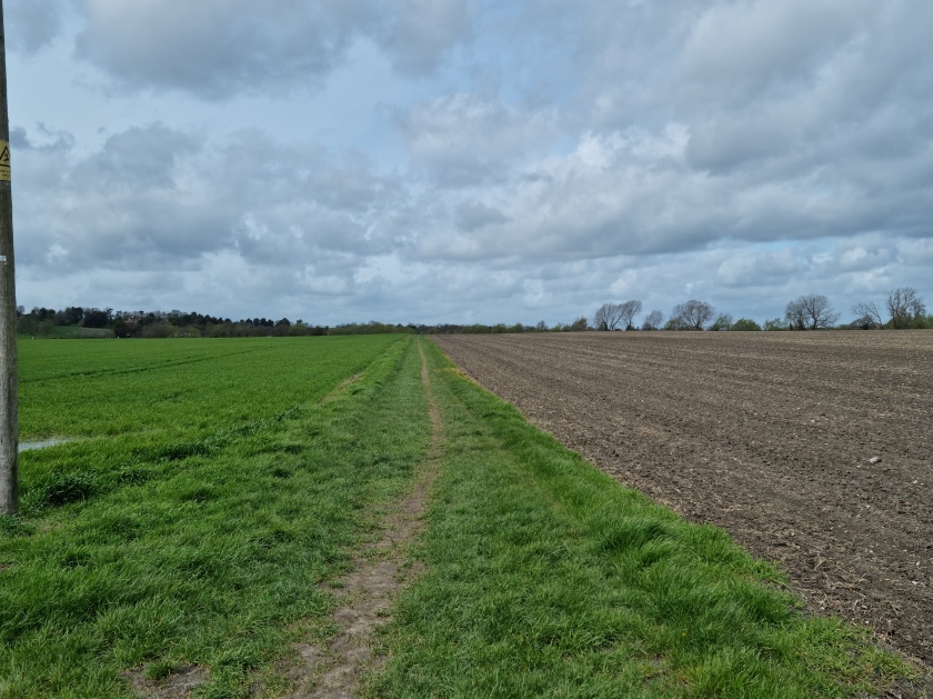
Another possible corpse path walked this week. “Possible”, because the evidence for it is both anecdotal and unsubtle – a footpath listed on local maps as “Coffin Way”, which runs south east/north west between the villages of Upton and Blewbury in South Oxfordshire. The chalky and flinty landscape of this region certainly has documented corpse path traditions – I have written elsewhere of our excursion along the nearby corpse path between Faringdon and Littleworth (although back in the pre-boundary changes day this was in Berkshire). A cursory online scratch revealed little about the history – a passing reference on a walking blog to a discussion about the name’s derivation and a reference on a French-language Wikipedia page on “Chemins de Mortes”, where are seemingly a pretty big deal in rural France.

Revised: 1879 to 1898, Published: 1900
The path is marked but not, as is often the case, named, on the Second Edition Ordnance Survey map, which was first surveyed in 1876 and re-surveyed in 1897-8. Interestingly, Upton and Blewbury both have ancient churches; the entrance to the former being framed by two particularly splendid yew trees which are clearly of very, very great antiquity. If “Coffin Way” was indeed a coffin road therefore, one assumes that at some point one or other of the churches must not have had all-including burial rights.


The path itself is a flat, pleasant and easy-going route, heading almost as the crow flies for a mile and a bit across the downland. Away to the north, the Iron Age splendour of Blewbuton Hill rises up, as the path sweeps between fields of rape seed and beans. As at Farringdon, for most of the stretch, there is no other physical boundary between the fields – the footpath insinuates itself through the landscape like an invisible tree root.
Outside Blewbury itself the route makes its way between two hawthorn hedgerows, whose full effect we got in the April sunshine. Echoing the documented path at Farringdon, the field-hugging way seems to become more formalised and delimited, possibly as a result of “bier balking”, as it approaches the outskirts of the village. Thick branches and roots at the foot of the hedgerows suggest they are at least as old as the pathway shown on the OS map. On the way back, we stopped to watch larks, which were indeed ascending, at the fringes of the route.

So: while the historical evidence is scanty, this is if nothing else a path with strong historical associations in the landscape, and an interesting name. What’s not to love?
